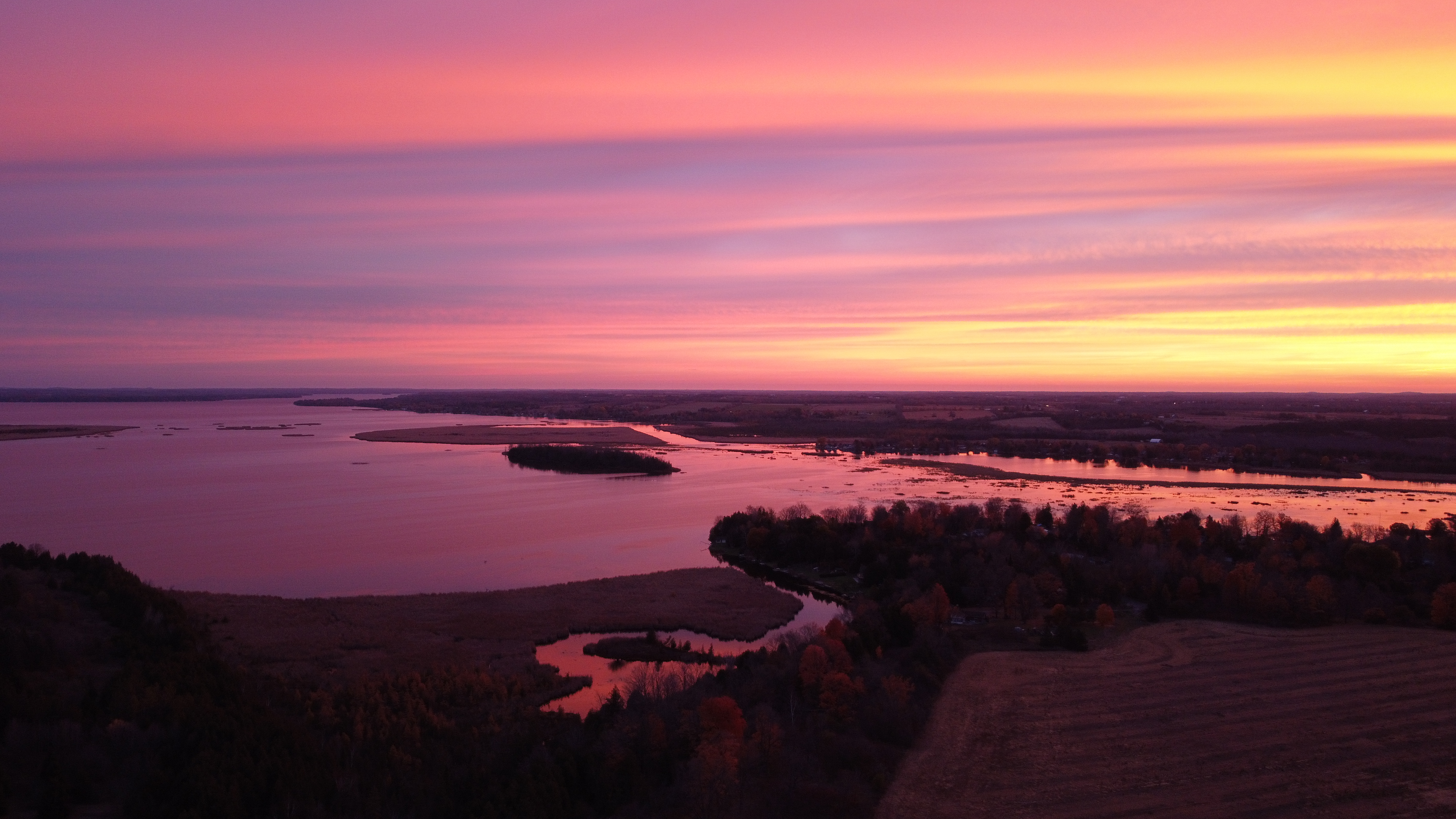
The total watershed area is 144 km² or 14,372 ha and the total lake area is 46 km².
Sturgeon Lake
Sturgeon Lake, situated in the central region of the City of Kawartha Lakes, is an integral part of the Trent-Severn Waterway. The lake receives inflows primarily from the Scugog River to the south and Cameron Lake to the northwest, with additional contributions from several smaller creeks and rivers. Water exits the lake through its northeastern arm at Bobcaygeon, flowing into Pigeon Lake.
The Sturgeon Lake watershed encompasses approximately 144 square kilometers, with the lake itself covering about 46 square kilometers. The area is characterized by 33% natural vegetation cover, predominantly coniferous forests. This includes 225 hectares of forest interior, providing essential habitats for various plant and animal species.
Significant ecological features within the watershed include several Provincially Significant Wetlands, such as Anstonia and Sandy Point (52 hectares), Ellery Bay (76 hectares), Emily Creek No. 2 (76 hectares), Nogies Creek Mouth (1.13 hectares), Sturgeon Lake No. 27 (252 hectares), and Sturgeon Lake No. 26 (453 hectares). Additionally, the Martin Creek Swamp, an Area of Natural and Scientific Interest (ANSI), spans 0.31 hectares, highlighting the region's ecological importance.
Environmental assessments indicate that the surface water quality of Sturgeon Lake is rated as fair, with total phosphorus concentrations averaging 0.025 mg/L, meeting the provincial objective of 0.02 mg/L for lakes. The health of benthic macroinvertebrate communities, as measured by the Family Biotic Index (FBI), is considered fair. Forest conditions within the watershed are also rated as fair, reflecting the need for conservation efforts to enhance the area's natural environment.
Understanding the characteristics and environmental conditions of Sturgeon Lake is essential for effective watershed management and conservation initiatives, ensuring the preservation of its ecological integrity and the health of the broader Trent-Severn Waterway system.

Watershed characteristics
Learn about the characteristics of the Sturgeon Lake watershed.
The dominant forest type is coniferous forest including:
- Forest interior: 225 ha
- 33% natural cover
Provincially Significant Wetlands
- Anstonia and Sandy Point: 52 ha
- Ellery Bay: 76 ha
- Emily Creek No. 2: 76 ha
- Nogies Creek Mouth: 1.13 ha
- Sturgeon Lake No. 27: 252 ha
- Sturgeon Lake No. 26: 453 ha
Area of Natural and Scientific Interest (ANSI) - Life Science: Martin Creek Swamp: 0.31 ha
ANSI - Earth Science
- Cameron Rock Drumlin: 153 ha
- Cameron Site: 4 ha
- Lindsay North Road Cut: 0.4 ha
- Little Bob Quarry: 0.1 ha
Environmental conditions
The following grades show the environmental conditions for the Sturgeon Lake watershed.
| Indicator | Result | Grade | Status |
|
Total phosphorus |
0.016 mg/L |
B |
Good |
| Indicator | Result | Grade | Status |
|
Total phosphorus |
N/A |
N/A |
N/A |
|
Benthic macroinvertebrates |
5.96 (FBI) |
D |
Fairly poor |
The surface water quality grade was based on total phosphorous (TP) and/or benthic macroinvertebrates (aquatic insects) family biotic index (FBI). The provincial water quality objective for TP in rivers and streams is 0.03 mg/L and 0.02 mg/L in lakes. These guidelines were set because levels highter than these guildelines provide conditions for nuisance algae and aquatic plant growth. A TP value below 0.03 mg/L (rivers) or 0.02 (lakes) meets the provincial guidelines and is in the B (good) or A (excellent) grade range, while the result for benthic macroinvertebrates must be 5.00 or lower to receive a B (good) or A (very good to excellent) grade.
| Indicator | Area cover | Percent cover | Grade | Status |
|
Forest cover |
37.4 km² |
26.0% |
B |
Good |
|
Forest interior |
5.6 km² |
3.0% |
D |
Poor |
|
Forest riparian cover |
6.40 km² |
35.6% |
C |
Fair |
The combined forest conditions grade for Sturgeon Lake is ranked as fair.
| Indicator | Area cover | Percent cover | Grade | Status |
|
Wetland cover |
15.1 km² |
10.5% |
B |
Good |
Contact Us
Kawartha Conservation
277 Kenrei Road
Lindsay, ON K9V 4R1
Tel: 705.328.2271
Fax: 705.328.2286
Subscribe to Receive Updates and Notifications
Stay up to date on flood and low water, news, activities, events, programs and operations by subscribing to updates and the Watershed Watch Newsletter.
