The total watershed area is 141 km² or 14,129 ha and the total lake area is 66 km².
Lake Scugog
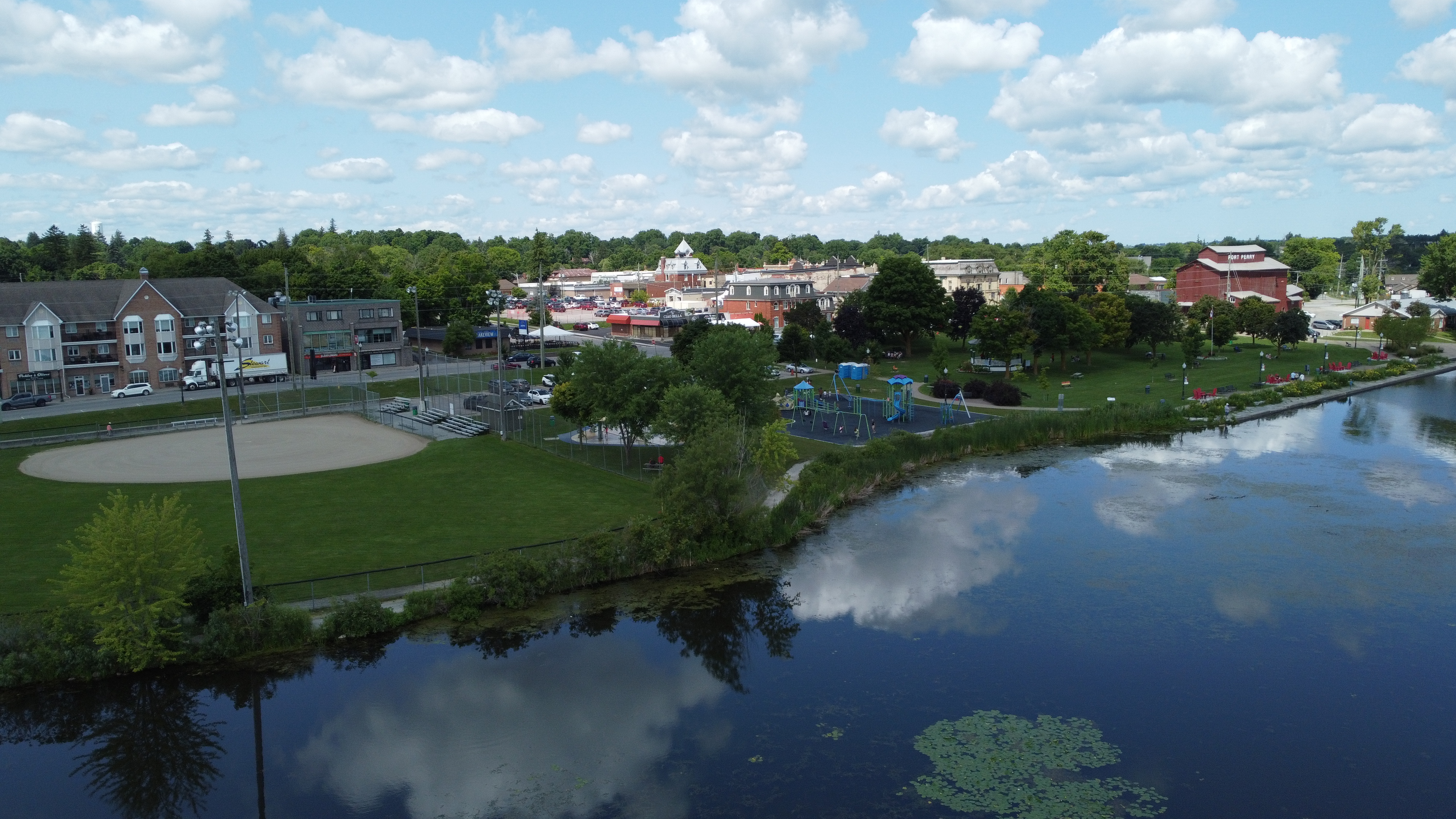
Lake Scugog, situated between Port Perry and Lindsay, is an integral component of the Trent-Severn Waterway.Spanning approximately 66 square kilometers, the lake receives inflows from numerous streams and rivers, many originating in the Oak Ridges Moraine.Water exits Lake Scugog via the Scugog River, flowing northward through Lindsay into Sturgeon Lake.
The Lake Scugog watershed encompasses an area of 141 square kilometers, characterized by a diverse landscape that includes deciduous forests and significant wetlands.Notably, the region features Provincially Significant Wetlands such as the Lake Scugog Marsh (Osler Marsh), covering 2,137 hectares, and the East Cross Creek No.15 wetland, spanning 143 hectares.
Environmental assessments indicate that the surface water quality of Lake Scugog is rated as fair, with total phosphorus concentrations averaging 0.025 mg/L, meeting provincial guidelines.The health of benthic macroinvertebrate communities, as measured by the Family Biotic Index (FBI), is considered fair.Forest conditions within the watershed are also rated as fair, reflecting the need for ongoing conservation efforts to enhance the area's natural environment.
Understanding the characteristics and environmental conditions of Lake Scugog is essential for effective watershed management and conservation initiatives, ensuring the preservation of its ecological integrity and the health of the broader Trent-Severn Waterway system.

Watershed characteristics
Learn about the characteristics of the Lake Scugog watershed.
The dominant forest type is deciduous forest including:
- Forest interior: 441 ha
- Forest deep interior: 51 ha
- 37% natural cover
Provincially Significant Wetlands:
- East Cross Creek No.15: 143 ha
- Lake Scugog Marsh (Osler Marsh): 417 ha
- Lake Scugog No.17: 209 ha
- Lake Scugog No.19: 697 ha
- Lake Scugog No.23: 17 ha
- Newman's Beach West No.63: 133 ha
- Nonquon River Mouth Wetland Complex: 48 ha
- Scugog River and Mariposa Brook: 20 ha
- Seven Mile Island Wetland: 157 ha
- Valentia South: 169 ha
Area of Natural and Scientific Interest (ANSI) - Life Science
- Valentia Marsh: 493 ha
- Scugog Marsh: 705 ha
Environmental conditions
The following grades show the environmental conditions for the Lake Scugog watershed.
| Indicator | Result | Grade | Status |
|
Total phosphorus |
0.027 mg/L |
C |
Fair |
| Indicator | Result | Grade | Status |
|
Total phosphorus |
0.039 mg/L |
C |
Fair |
|
Benthic macroinvertebrates |
5.84 (FBI) |
D |
Fairly Poor |
The surface water quality grade was based on total phosphorous (TP) and/or benthic macroinvertebrates (aquatic insects) family biotic index (FBI). The provincial water quality objective for TP in rivers and streams is 0.03 mg/L and 0.02 mg/L in lakes. These guidelines were set because levels highter than these guildelines provide conditions for nuisance algae and aquatic plant growth. A TP value below 0.03 mg/L (rivers) or 0.02 (lakes) meets the provincial guidelines and is in the B (good) or A (excellent) grade range, while the result for benthic macroinvertebrates must be 5.00 or lower to receive a B (good) or A (very good to excellent) grade.
| Indicator | Area cover | Percent cover | Grade | Status |
|
Forest cover |
32.0 km² |
22.6% |
C |
Fair |
|
Forest interior |
4.8 km² |
2.3% |
F |
Very Poor |
|
Forested riparian cover |
5.0 km² |
33.5% |
C |
Fair |
The combined forest conditions grade for Lake Scugog is ranked as fair.
| Indicator | Area cover | Percent cover | Grade | Status |
|
Wetland cover |
22.2 km² |
15.7% |
A |
Excellent |
Contact Us
Kawartha Conservation
277 Kenrei Road
Lindsay, ON K9V 4R1
Tel: 705.328.2271
Fax: 705.328.2286
Subscribe to Receive Updates and Notifications
Stay up to date on flood and low water, news, activities, events, programs and operations by subscribing to updates and the Watershed Watch Newsletter.
