Smart Planning Starts with Smart Mapping: Understanding Flood Risks
Water has a way of reminding us who’s really in charge. Whether it’s a slow, steady rise after heavy spring rains or a sudden surge from an intense storm, flooding can reshape landscapes, disrupt lives, and leave lasting impacts. That’s why floodplain mapping is so important, it helps us understand where water goes during extreme weather events and ensures that planning, permitting, and development happen in the right places.
Kawartha Conservation has completed floodplain mapping studies across the watershed, including Bobcaygeon, Burnt River, Fenelon Falls North and South, Dunsford Creek, Mariposa Brook, and several other key areas. These maps aren’t just lines on paper, they are essential tools that support informed decision-making at every level, from municipal planning to individual property owners.
“Floodplain mapping provides a science-based approach to managing development,” says Galen Yerex, Floodplain GIS/Mapping Technician at Kawartha Conservation. “It helps ensure that new construction happens in safe locations, reducing risks to people and property. It’s about making sure we’re building in the right places, with the right information.”
How Floodplains Are Mapped
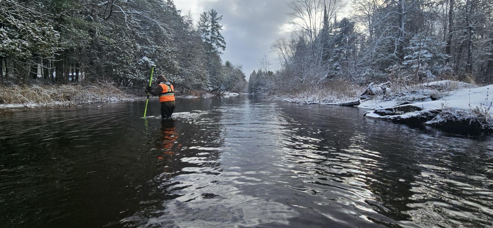
Mapping floodplains is a highly technical process that combines cutting-edge technology with detailed hydrological data. One of the most significant advancements in recent years has been the use of LiDAR (Light Detection and Ranging) technology. LiDAR uses laser pulses from aircraft to create incredibly accurate, high-resolution 3D maps of the landscape. This data helps scientists and engineers model how water flows during storm events and determine which areas are most at risk of flooding.
“In the past, floodplain mapping relied on older survey methods that didn’t always capture the full picture,” Yerex explains. “With LiDAR, we can map the terrain with precision down to centimeters, giving us a much clearer understanding of how water moves through the landscape.”
Beyond topography, floodplain mapping incorporates a range of data sources, including:
- Historical weather patterns and rainfall data to estimate how much water can be expected in major storm events.
- Flow data, water level data and precipitation data.
- Hydrological models that simulate how rivers, streams, and lakes respond to heavy precipitation.
- Land use data to assess how urban development, deforestation, soils and other human activities impact water flow.
All of these elements come together in sophisticated computer models that generate a floodline, or a line delineating the extent of flooding. Flood maps are created and display the floodline along with their associated flood elevations. These maps illustrate not only where water will go in an extreme storm but also how deep and how fast it will move, critical information for emergency responders, urban planners, and property owners.
Why This Matters More Than Ever
With climate change increasing the frequency and severity of storms, floodplain mapping has never been more critical. The idea of the “100-year storm” is changing; what was once considered a rare event is now happening more often. Heavy rainfall, rapid snowmelt, and extreme weather patterns all contribute to shifting water dynamics, making it essential to have accurate, up-to-date flood maps.
“Flooding doesn’t just impact the people living in flood-prone areas,” Yerex explains. “It affects emergency response, municipal services, infrastructure, and even insurance rates. By having detailed floodplain maps, we can plan better, prepare better, and ultimately protect our communities.”
Beyond emergency management, floodplain mapping plays a crucial role in long-term community planning. It helps municipalities design infrastructure that can withstand extreme weather, guides responsible land use decisions, and ensures that development aligns with environmental realities.
For homeowners, these maps provide valuable insights. Knowing whether a property is in a floodplain can influence everything from home renovations to insurance decisions. “If you understand your flood risk, you can take proactive steps to protect your home, whether that’s flood-proofing, purchasing the right insurance, or even choosing a different location to build,” says Yerex.
As weather patterns continue to change, our approach to water management must evolve with it. Floodplain mapping is one of the most effective tools we have to adapt to this reality, ensuring that we are building, planning, and preparing with the future in mind. By using the best available science and technology, we can make sure that our communities remain resilient, even when the water rises.
To learn more about floodplain mapping or to check out the mapping already completed, visit us online at kawarthaconservation.com/floodplain.
Contact Us
Kawartha Conservation
277 Kenrei Road
Lindsay, ON K9V 4R1
Tel: 705.328.2271
Fax: 705.328.2286
Subscribe to Receive Updates and Notifications
Stay up to date on flood and low water, news, activities, events, programs and operations by subscribing to updates and the Watershed Watch Newsletter.