Your application must include:
1. Proof of ownership (ONE of the following)
a. Tax bill from the current tax year
b. Transfer/Deed of land document dated within the last 6 months
2. Articles of Incorporation (if proof of ownership is submitted under a corporation's name)
3. Signed letter of authorization from owner to applicant (if applicant is not owner)
4. Statement of agreement from any person/s sharing rights-of-way, easements, etc. (if applicable)
5. Detailed letter/report describing the proposal
6. Volume (cubic metres/cubic yards) and origin (company name, location) of any fill material (sand, soil, rock, etc.) from an off-site source for septic systems, driveways, foundations, etc.
** If fill exceeds 500 cubic metres, a separate application form, fee, and process is required**
7. One copy of a site plan and drawings (PDF, JPEG, or hard copy no larger than 11” x 17”) illustrating existing site conditions and proposed development and/or site alteration, including:
a. property boundaries
b. location and dimensions of existing and proposed buildings or structures, septic field(s), driveways, parking lots, areas of fill placement or excavation
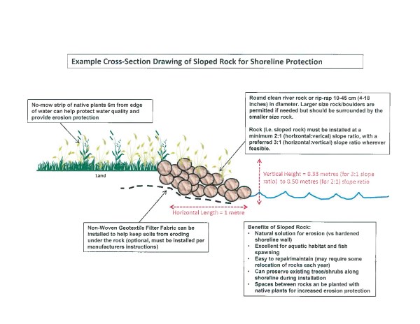
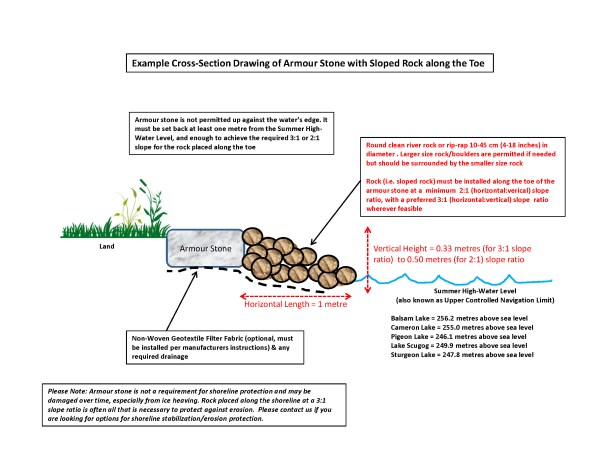
c. cross-section(s) of proposed work(s), if necessary
d. if lot grading/drainage plan is required for Building Permit, please provide as your site plan
8. Colour photographs of entire shoreline taken in summer (if shoreline works or boathouse proposed)
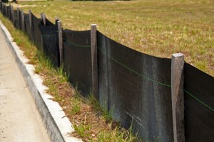
9. Sediment and erosion control proposal (for infrastructure, commercial/industrial/multi-residential
Insufficient information may delay the processing of your application.
The submission of additional information may be necessary, based on review by staff. An application is considered complete when all information has been received, including any information requested by staff.
Additional application requirements can include the following, depending on the features present on your property:
- Environmental impact study
- Wetland compensation plan
- Elevation/topographic survey
- Geotechnical and/or slope stability study
- Engineered drawings
- Flood plain modelling/mapping
- Stream bank erosion analysis
- Geomorphologic assessment
- Etc.


